Then & Now
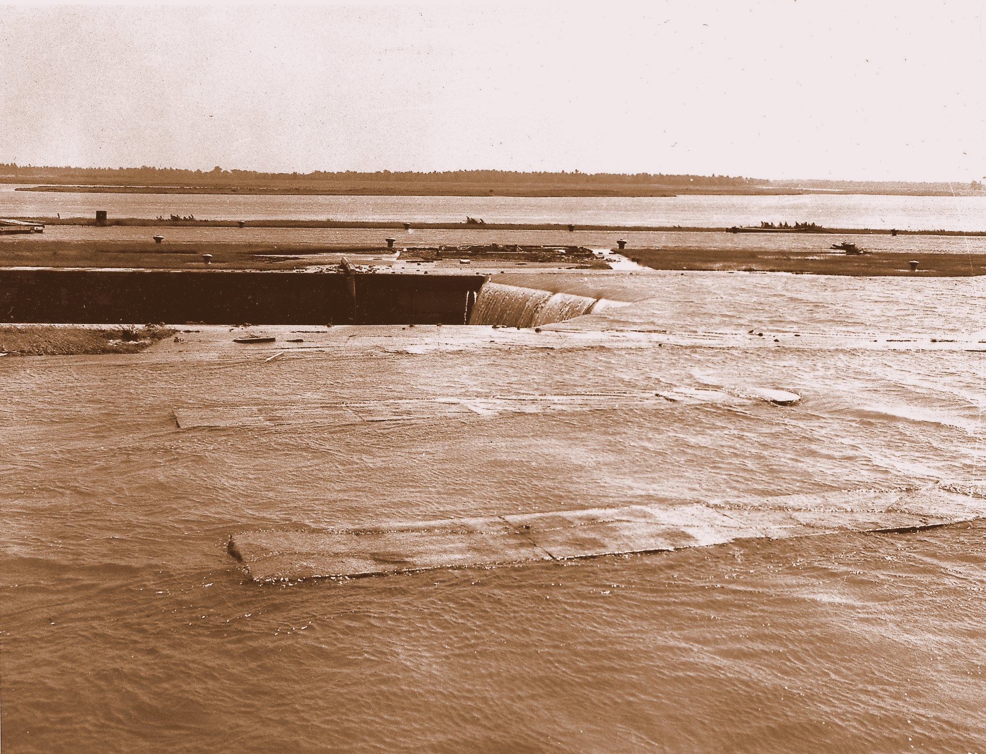 1 July, 1958 - Morrisburg Lock 23 Disappears Under the St Lawrence
River.
1 July, 1958 - Morrisburg Lock 23 Disappears Under the St Lawrence
River.
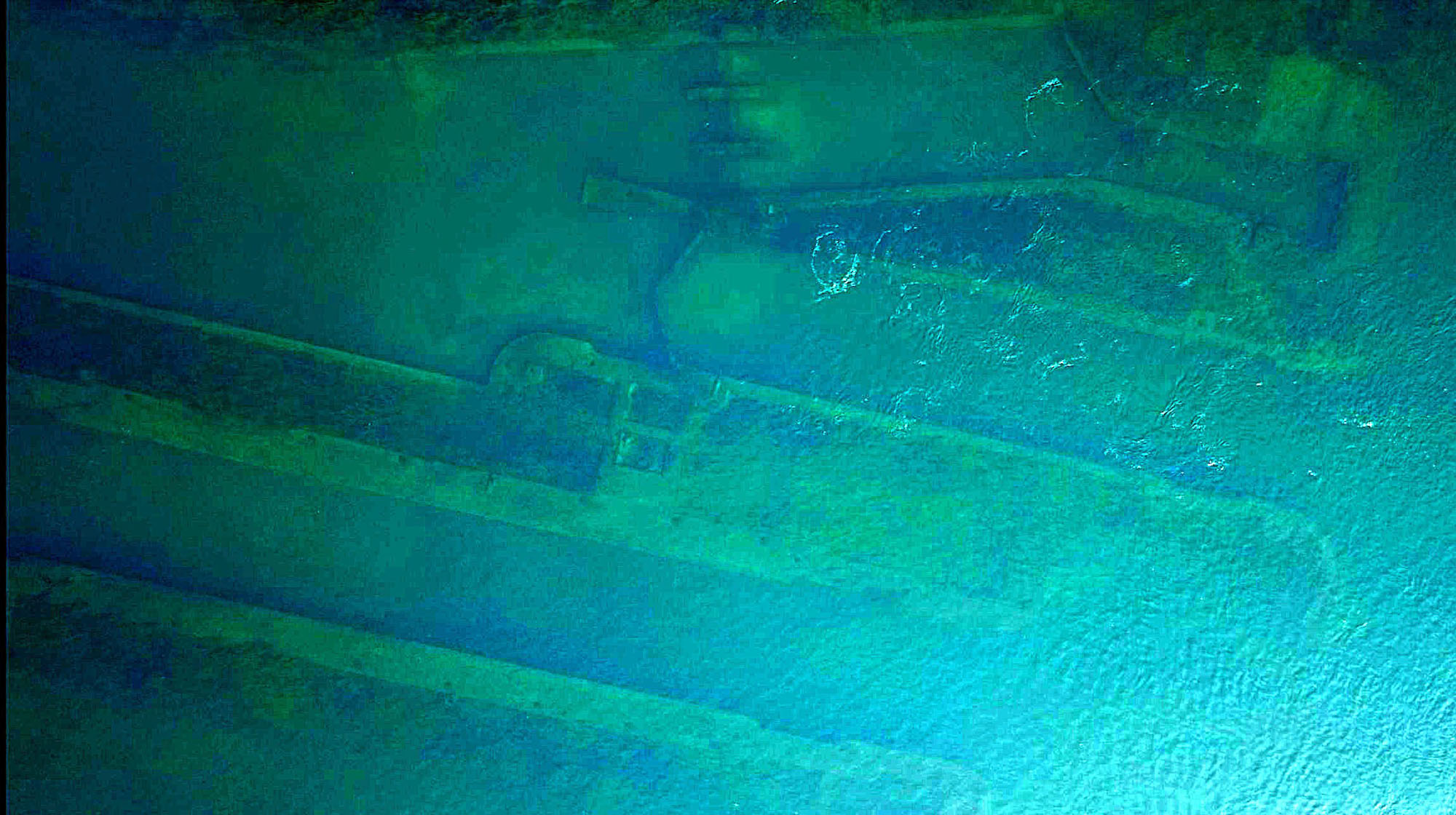 Lock 23 as it Looks Today -
Under the Water.
Lock 23 as it Looks Today -
Under the Water.
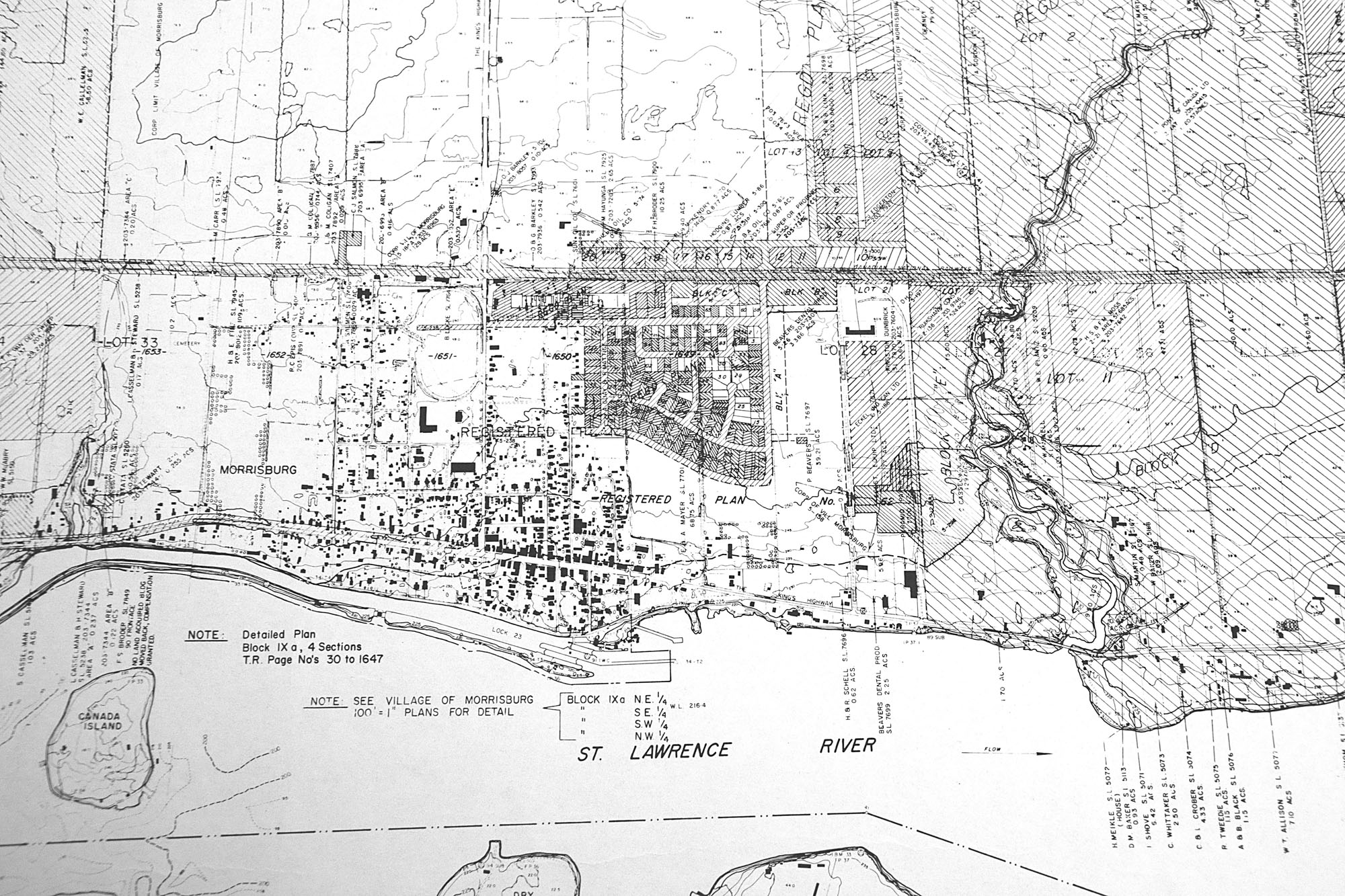 1950s Ontario Hydro Map of Morrisburg Before the Seaway.
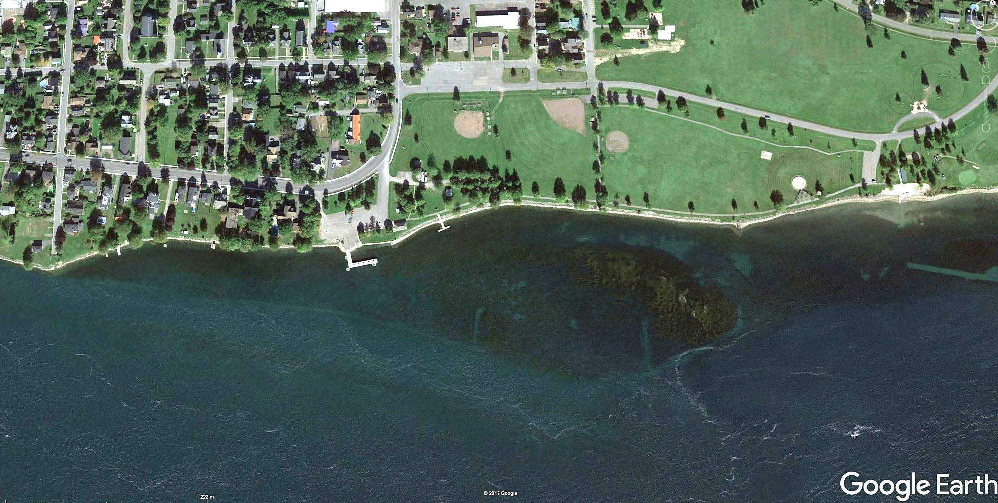 Google Earth Satellite Image From Today.
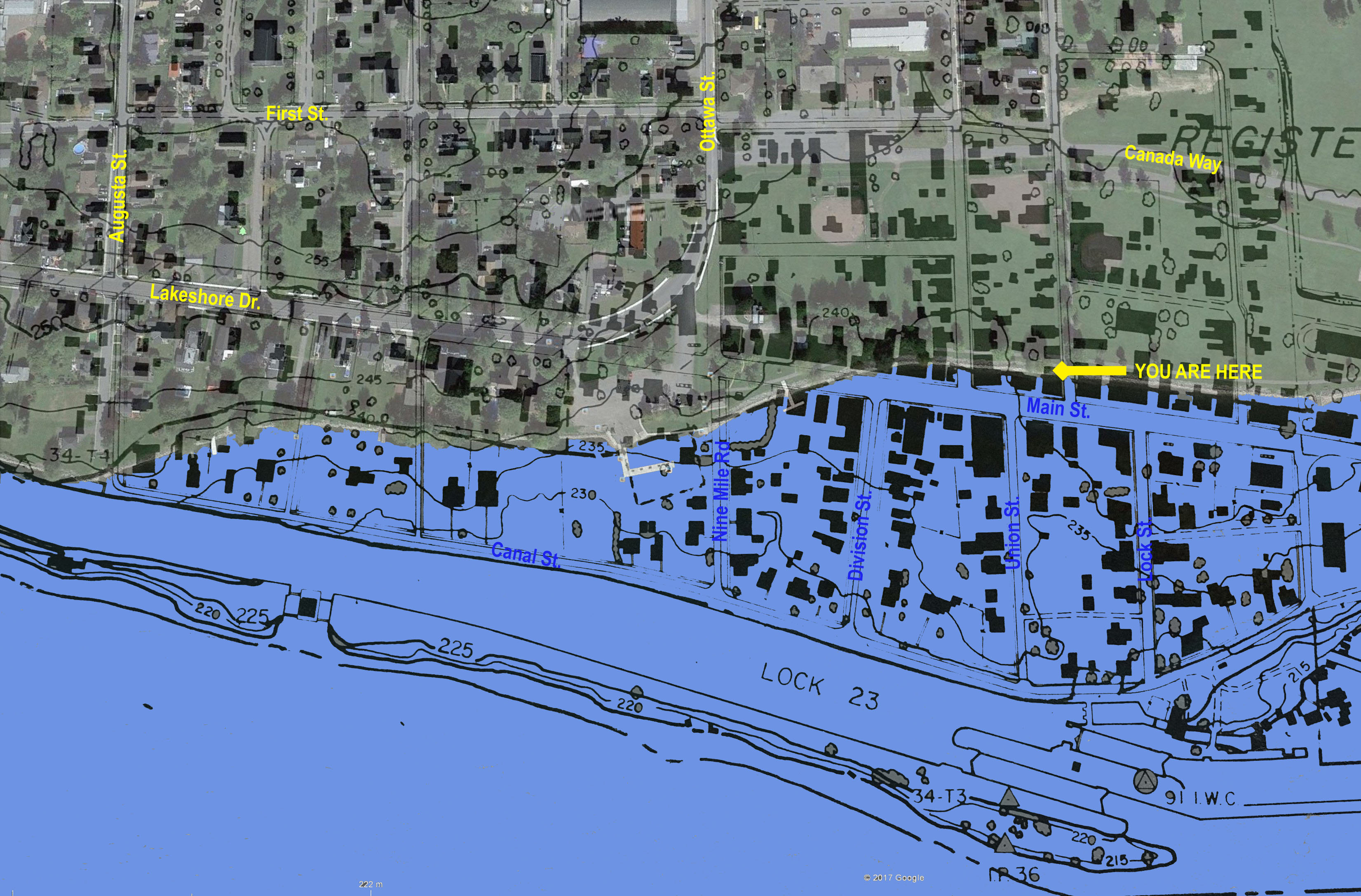 1950s & Today Maps Overlaid Together.
"YOU ARE HERE" is on the Waterfont Path, Where it Meets the Path to Canada Way.
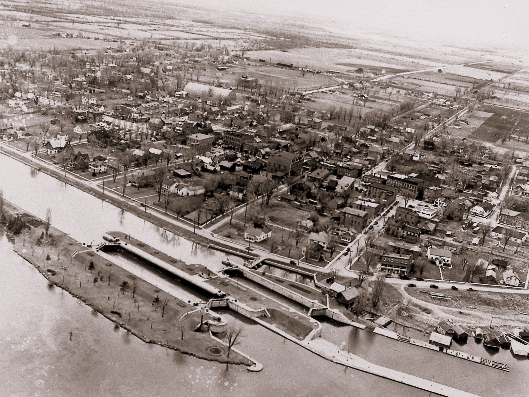 1950s Aerial Photograph of Old Morrisburg
- from South East.
1950s Aerial Photograph of Old Morrisburg
- from South East.
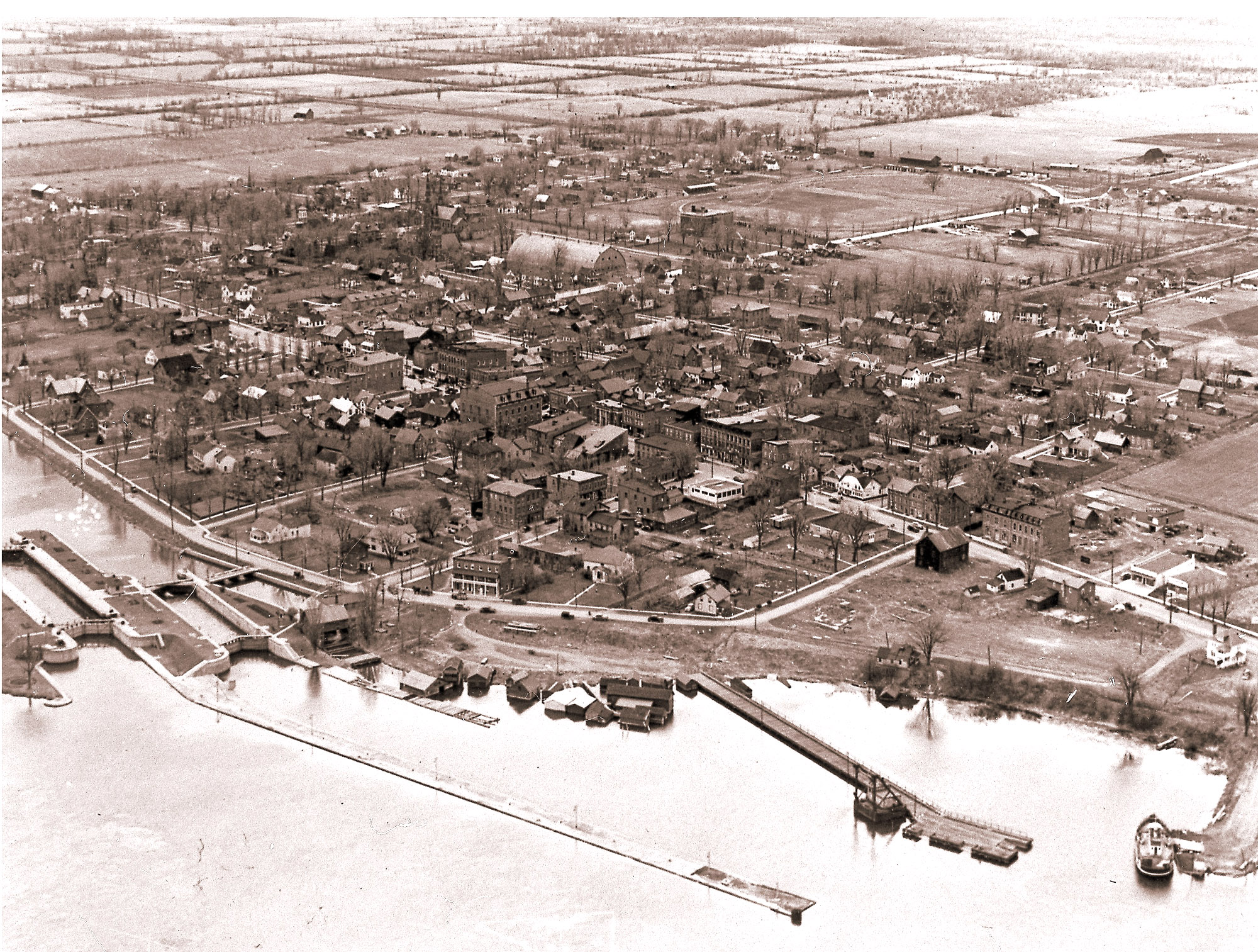 1950s Aerial Photograph of Old Morrisburg
- from East.
1950s Aerial Photograph of Old Morrisburg
- from East.
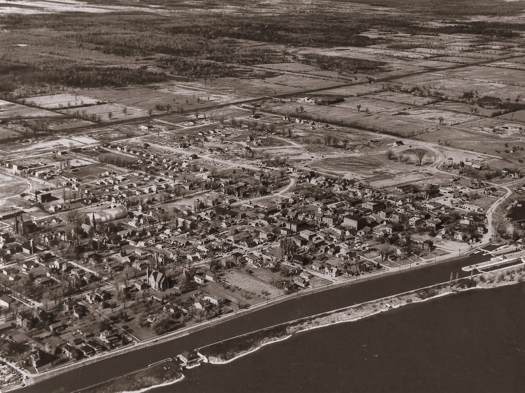 1950s Aerial Photograph of Old Morrisburg
- from South.
1950s Aerial Photograph of Old Morrisburg
- from South.
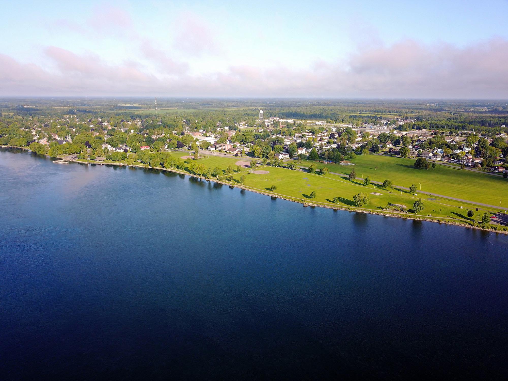 How it Looks Today.
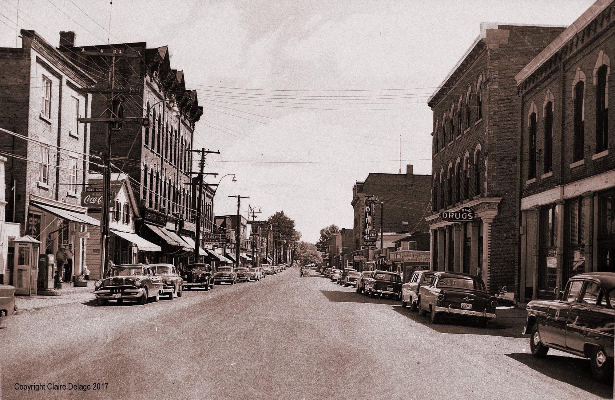 What Was Lost: View Down the Old Main Street.
 What Was Not Lost: Unlike Most of the St. Lawrence Seaway "Lost
Villages",
What Was Not Lost: Unlike Most of the St. Lawrence Seaway "Lost
Villages",
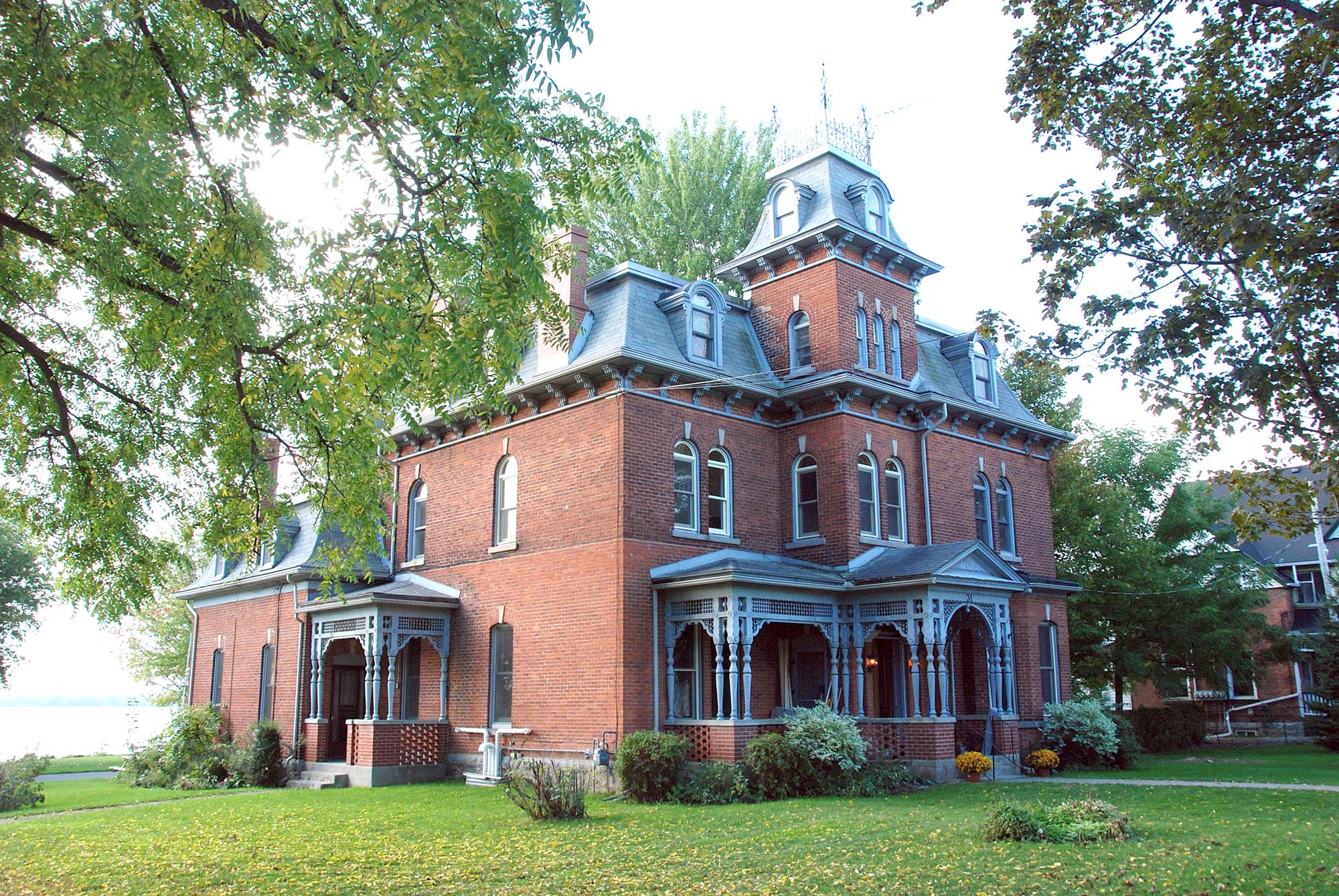
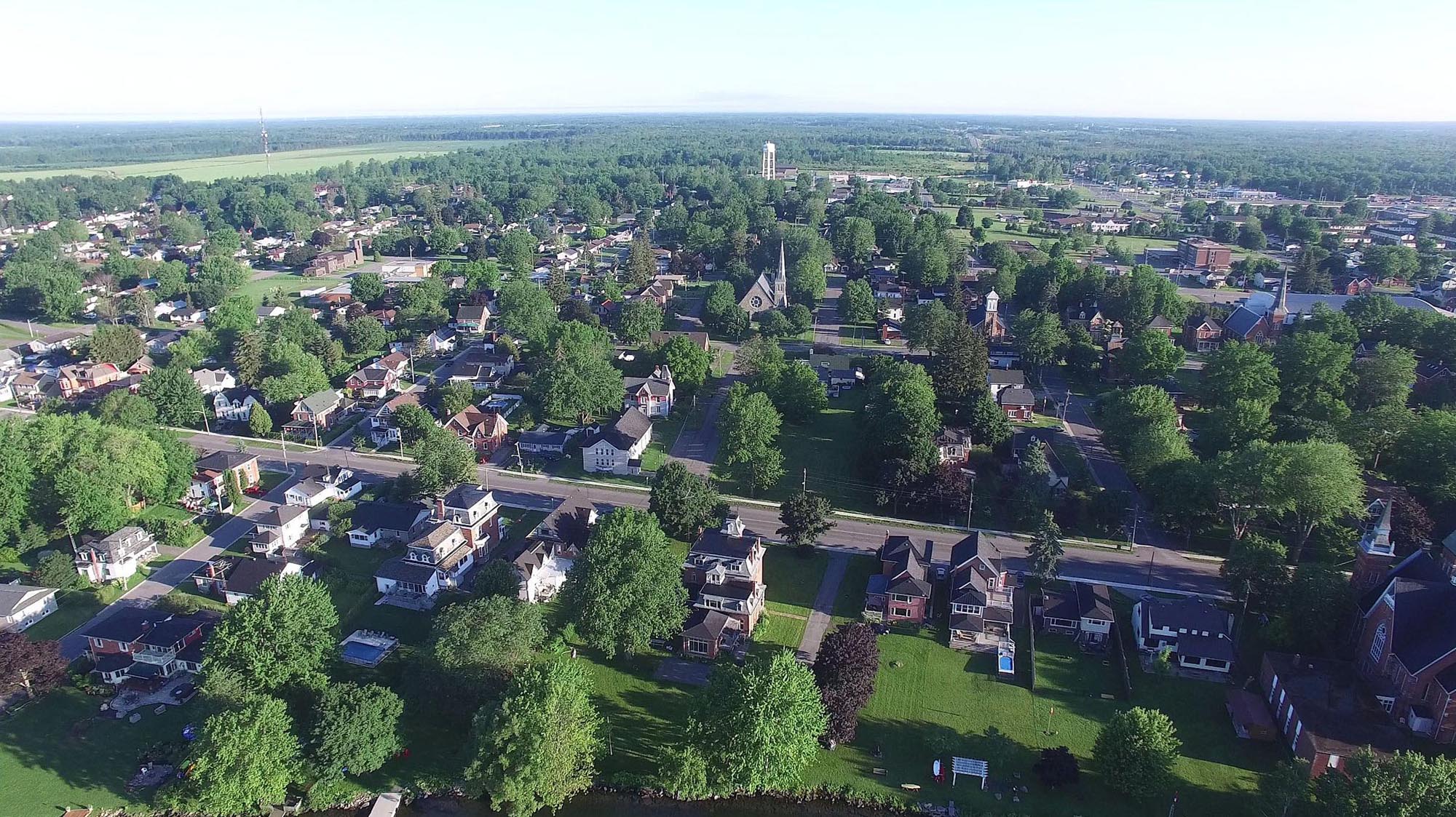
Much of the Residental Area was not Lost - With Many of the Striking Old Residences and Churches.
 Today: Looking West Along Lakeshore Drive (The Old Queens Highway)
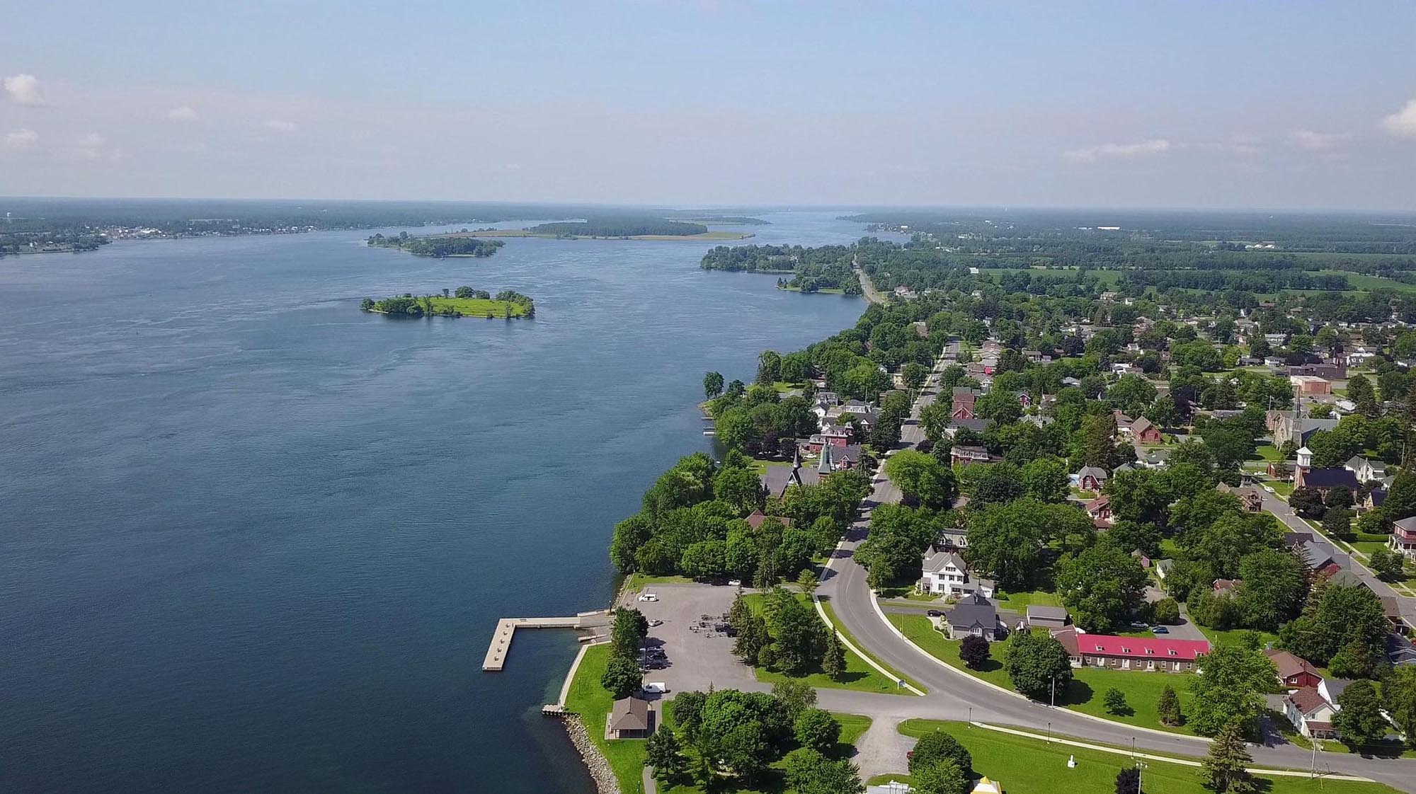
 Today: Looking North from the River.